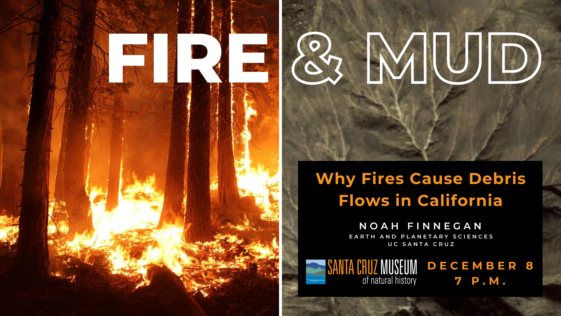
Geomorphologist Noah Finnegan provides an overview of the science linking wildfires and debris flows in California, including lessons learned from the 2009 Lockheed Fire in the Santa Cruz mountains. Particular emphasis is paid to how residents impacted by the CZU Lightning Complex can navigate resources to better understand their debris-flow risks.
Resources
Below are resources referred to in the presentation and major take-aways from Noah Finnegan:
- Debris flows are possible within the Santa Cruz Mountains this winter. The USGS Landslide Hazards Program has numerous resources geared at helping the public understand post-fire hazard: landslides.usgs.gov/hazards/postfire_debrisflow/
- This is a county map showing areas of risk from inundation or blockade from debris flows as well as potential evacuation: https://www.co.santa-cruz.ca.us/FireRecovery/DebrisFlowsMudflows.aspx
- Debris flows can flow downstream of recently burned regions along stream channels into regions that did not burn.
- Debris flows can also flow out of existing channels Understanding the debris flow hazard upstream of you is crucial. CGS has made interpretations of where debris flow deposition is likely. These maps are a good community resource: www.co.santa-cruz.ca.us/Portals/0/County/FireRecovery/pdfs/CZU_OES_Mission_Task_2020-SOC-42611_Boulder_Creek_Post_WERT_Study_CGS_Final_20201102.pdf
- The National Weather Service SF Office is very focused on post-fire debris flow hazards. Their forecasters and forecast products can help you anticipate upcoming storms that may pose a hazard because of rainfall intensity: www.weather.gov/mtr/
- NWS forecast discussion: https://forecast.weather.gov/product.php?format=CI&glossary=1&issuedby=MTR&product=AFD&site=MTR&version=1

About the Speaker
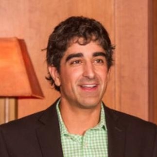
Noah Finnegan is a professor in Earth and Planetary Sciences at UC Santa Cruz. Noah’s research and teaching are focused on processes of erosion and sediment transport on hill slopes and in river channels.

